+

In stock *In Stock - Subject to stock availability at point of fulfilment. In the event whereby the item is out of stock or unable to provide the service, 1Outlets will cancel the order and issue a Full refund in-store credit to you. SKU : d46475dca8f369805ddaceead54d4046
**Free Shipping Worldwide available - Shipping time may vary depending on the address.
**Circumstances Reroute - This is a time of great stress and uncertainty. We are actively validating, routing and re-routing orders with our overseas merchants, logistic partners and airlines. Deliveries and supply may expect delays.
**In Stock (Low Inventory Warning) - Subject to stock availability at point of fulfilment. In the event whereby the item is out of stock or unable to provide the service, 1Outlets will cancel the order and issue a Full refund in-store credit to you (See Refunds).
**Report or Request Removal - Any copyrighted, DMCA, inappropriate, offensive, prohibited, potentially Illegal Listings (Submit doc here).
Navigate the Future, Now!
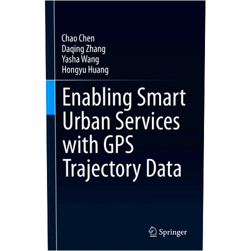
Enabling Smart Urban Services with GPS Trajectory Data is your passport to a brighter, more connected world. Discover how GPS trajectory data powers innovative smart urban services, transforming cities into vibrant hubs of efficiency and convenience. Learn to harness the power of location, movement, and mobility to build a future where every journey is optimized, and every city thrives.
Main Features
Data-Driven Insights: Uncover the secrets hidden within GPS trajectory data, allowing for meticulous analysis of urban movement patterns. This feature provides the foundation for understanding how people and vehicles navigate the city.
Predictive Analytics: Foresee future trends by leveraging GPS data to forecast traffic, anticipate demand for services, and optimize resource allocation. This enables proactive decision-making.
Real-Time Monitoring: Observe urban dynamics in real-time, providing immediate access to the current state of transportation networks and resource distribution. This feature aids in emergency response.
Service Optimization: Design and refine smart urban services through the application of GPS data analytics, enhancing convenience and accessibility. Enhance the efficiency of existing services.
User-Friendly Interface: Experience an intuitive and accessible platform designed for ease of use, regardless of technical background. Making the complex accessible.
Benefits
Improved Mobility: Experience smoother commutes, reduced congestion, and a more efficient transportation ecosystem for everyone. Move freely.
Enhanced Public Safety: Enhance responsiveness to emergencies and elevate public safety through the accurate tracking and prediction of incidents. Safety for everyone.
Optimized Resource Allocation: Ensure resources are deployed with maximum effectiveness, minimizing waste and maximizing impact throughout the city. Make the most of everything.
Sustainable Urban Planning: Make choices that promote urban growth with a dedication to environmental care, creating greener, cleaner cities. Helping the world.
Personalized User Experiences: Design a tailored journey with insights into individual user behavior to deliver more enjoyable and efficient interactions. A personalized trip.
Unique Selling Points / Competitive Advantages
Comprehensive Data Integration: Bring together data from diverse sources, offering a holistic view of urban environments. A complete picture.
Advanced Analytical Capabilities: Develop intricate analyses and insights, pushing the bounds of GPS trajectory data interpretation. Thinking ahead.
Scalable Architecture: Designed to adapt to the changing needs of cities and to handle growing volumes of data with grace. Growing strong.
Cutting-Edge Algorithms: Use pioneering algorithms for prediction, optimization, and pattern recognition. Best practices.
Community-Focused Approach: Committed to empowering urban planners, policymakers, and communities through accessible tools and insights. Helping communities.
Usage Scenarios
Traffic Management: Employ GPS trajectory data to reduce congestion, optimize traffic flow, and improve commute times. Less time in traffic.
Public Transportation Optimization: Improve bus and train routes, and plan schedules for improved efficiency and better service. Better public transportation.
Smart Parking Systems: Guide drivers to available parking spaces, minimizing search times and reducing traffic bottlenecks. Easier parking.
Emergency Response Systems: Improve response times by optimizing routes and providing real-time data to emergency services. Saves more lives.
Logistics and Delivery Services: Optimize delivery routes, reduce delays, and improve the efficiency of delivery networks. Faster delivery.
Customer Reviews / Testimonials
Aisha Khan, United Kingdom, 2023: "I was amazed at how GPS data transformed our city's public transport system, making it more reliable."
David Lee, Canada, 2023: "This work is a game-changer! I had never seen such thorough analysis from GPS trajectory data."
Sofia Rodriguez, Argentina, 2024: "The smart urban services are really cool! They are very easy to use, thanks to this amazing platform."
Kenji Tanaka, Japan, 2024: "The impact of the new traffic flow, made me a believer of GPS trajectory data. It's unbelievable!"
Fatima Ali, UAE, 2024: "As a city planner, I find the data incredibly informative and easy to understand. I can help our city become a better place!"
Frequently Asked Questions
What kind of data is used? The product mainly uses GPS trajectory data, which is the location history of moving objects, such as vehicles and people.
How does it improve public transportation? By analyzing the GPS data, we identify traffic trends, optimize routes, and improve the efficiency of services.
Is the platform user-friendly? Yes, the product has a user-friendly design to accommodate users with diverse technical backgrounds.
What are the key benefits? There are more efficient traffic flow, optimized resource allocation, and improved public safety.
Can this be scaled to a large city? Absolutely, the product is built on scalable architecture, which is able to handle large volumes of data.
BUY NOW
Embark on an adventure where every movement matters! Discover how ** can transform your perception of urban spaces, with GPS trajectory data** at the heart of the evolution of the city. Order now and empower your city's potential!
(Beta: User Generated 2024.0007)